
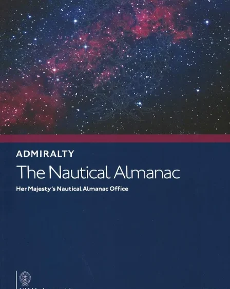
Among all the navigation books kept on a ship’s bridge, the Nautical Almanac is one of the most important publications ever produced. Whether you are taking a sextant sight during training, sitting for your competency exam, or preparing for GPS failure procedures, the Nautical Almanac is the central reference. It provides the astronomical data required to convert a sextant observation into a position line. Without this book, celestial navigation cannot be performed.
What Is the Nautical Almanac?
The Nautical Almanac is an annual government publication that contains the precise daily positions of the Sun, Moon, planets, and navigational stars. It tells the navigator where these celestial bodies are located relative to the Earth at any given hour and minute. This data is needed to calculate the Greenwich Hour Angle, declination, and other key parameters used in sight reduction. In simple terms, the Nautical Almanac is the link between what you see through the sextant and where your ship is located on Earth.
What Information the Nautical Almanac Contains
The Nautical Almanac includes:
Daily GHA and declination of the Sun
Hourly GHA and declination of planets
Precise GHA and declination of the Moon
GHA of Aries for star sights
Star data with magnitudes, names, and positions
Altitude correction tables for the Sun, Moon, stars, and planets
Interpolation tables for minutes and seconds
Time conversion tables between GMT, LMT, and other formats
Rising and setting times of the Sun and Moon
Phase data for the Moon
Explanatory notes and worked examples
All this information allows a navigator to reduce a sextant observation quickly and accurately.
Why the Nautical Almanac Is Used
The Nautical Almanac is used because it provides the essential astronomical data required for celestial navigation. No calculation or sight reduction is possible without knowing the position of the observed celestial body. The almanac gives this position with enough precision for practical marine navigation. It also standardizes celestial navigation worldwide, ensuring that every mariner uses the same reference data. Even in the GPS era, it remains the official backup method under maritime regulations.
How the Nautical Almanac Is Used
The Nautical Almanac is used during the standard six-step celestial navigation process:
Step 1: Take a sextant sight and correct it to get observed altitude (Ho).
Step 2: Note the exact GMT of the sight.
Step 3: Open the Nautical Almanac to the date and hour to obtain GHA and declination.
Step 4: Interpolate the minutes and seconds using the increment tables.
Step 5: Use the GHA, declination, and assumed position to calculate the local hour angle.
Step 6: Enter sight reduction tables or use trigonometry to find Hc and Zn.
This gives the intercept and azimuth, which allow the navigator to draw a position line on the chart.
Accuracy of the Nautical Almanac
The data in the Nautical Almanac is produced using highly accurate astronomical observations and mathematical models. Although more advanced methods exist today, the almanac provides more than enough precision for practical marine navigation. Errors in celestial position derived from the almanac are typically far smaller than observational errors from the sextant itself.
History of the Nautical Almanac
The Nautical Almanac has a long and influential history. It was first published in 1767 by the Royal Observatory at Greenwich. During that period, long-distance sea voyages required a reliable method of determining longitude, and celestial navigation was the only available technique. To support navigators, the British government funded the creation of a standard almanac containing the precise positions of celestial bodies. This made navigation more accurate, reduced ship losses, and strengthened global trade. Over time, other maritime nations produced their own versions, but the format and purpose remained the same. Today, the Nautical Almanac continues to follow the same tradition, updated annually with the latest astronomical data.
Why the Nautical Almanac Still Matters Today
Even with GPS and electronic chart systems, the Nautical Almanac remains essential because it serves as a backup method of fixing the ship’s position without electronics. It is required on board ships under SOLAS and is still taught in maritime academies and tested during officer certification. It also ensures that navigators understand the fundamentals of astronomy, timekeeping, and position fixing, which are the foundation of all modern navigation systems.
Conclusion
The Nautical Almanac is the backbone of celestial navigation. It provides the precise astronomical data needed to convert sextant sights into accurate position lines. Its long history, proven reliability, and mandatory role in maritime training ensure that it remains an indispensable publication on every ship. Learning to use the Nautical Almanac builds strong navigational skills and prepares mariners for any situation where electronic navigation might fail.